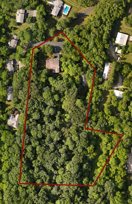
Aerial maps can be extremely valuable in the sale of land. For those considering buying large areas of real estate, having an accurate aerial map can be of great value in determining if the property is a good investment. If you have ever looked at a standard satellite image, you know that the detail can be lacking. Drone mapping can solve this clarity issue. A highly detailed aerial map allows for insight into the property details without requiring a client to be there in person.
Drone Mapping Services
Property Survey Illustrations
And with the help of a licensed land surveyor, contour lines and accurate borders can even be overlaid onto the imagery. AED Drone Services can provide this service using Dronelink mapping software.


